Look up two UK postcodes, measure the straight-line distance between them, and compare practical commute, delivery, or catchment planning allowances.
Last updated
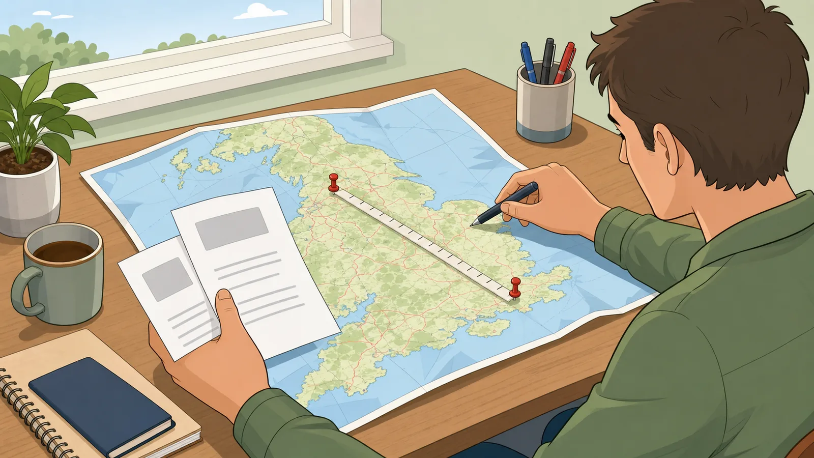
UK postcode distance calculator Look up two UK postcodes to calculate the straight-line distance between them in miles,
kilometres, and nautical miles, then compare practical commute, delivery, or catchment
planning allowances.
Planning context
Output unit
How to read the result
This postcode distance calculator uses a straight-line postcode-to-postcode measurement,
not a live road router. That makes it useful for quick comparisons, delivery-area sense
checks, school or job catchment screening, and early commute planning.
The comparison rows below help you translate the direct postcode distance into something
more practical when roads, river crossings, or local access roads make the real journey
longer than the as-the-crow-flies line.
Look up two UK postcodes Enter a starting postcode and a destination postcode, then use the lookup button to
calculate the distance between two UK postcodes and compare quick planning allowances.
UK postcode distance calculator guide: straight-line postcode checks, route allowances
A UK postcode distance calculator is most useful when it does more than return one bare mileage number. This page looks up two UK postcodes, measures the straight-line distance between them, shows the answer in miles, kilometres, and nautical miles, and then adds practical planning rows for commuting, delivery areas, and catchment or radius checks.
What this postcode distance calculator actually measures
This calculator measures the straight-line distance between two UK postcodes. That means it resolves each postcode to a geographic centroid, then calculates the shortest path over the Earth's surface between those two points. Users searching for a postcode distance calculator, distance between postcodes, distance between two postcodes, or distance between UK postcodes are often trying to answer a quick screening question first: how far apart are these places before I price the real journey?
That direct answer is useful for commuting checks, delivery quoting, catchment filtering, relocation shortlists, school-run planning, and service-area decisions. It is especially useful when you need a consistent postcode-to-postcode baseline rather than a road route that changes with closures, one-way systems, or personal routing choices.
The important limitation is that a straight-line postcode distance is not the same as a drivable route. Roads curve, cities force detours, and nearby addresses can share centroid data that sits a little away from the exact front door. That is why this page adds practical comparison rows instead of pretending the direct postcode line is the final transport answer.
How the UK postcode lookup works
When you enter two postcodes, the calculator looks them up through Postcodes.io and reads the returned postcode, district, region, country, latitude, and longitude information. It then measures the direct postcode-to-postcode distance with the Haversine formula, a standard great-circle method used for as-the-crow-flies distance calculations on the Earth's surface.
This approach is fast and consistent. It also explains why the result can be helpful in cases where a full route engine would be too much: for example, when you are screening job applications by likely travel radius, checking whether a service postcode falls inside your usual area, or comparing neighbourhood options before you care about the exact road route.
The output also shows district and region context because distance questions are often tied to geography rather than just one number. Seeing whether both postcodes sit in the same district or region can help you interpret short versus long trips more quickly.
Further reading
Postcodes.io — UK postcode lookup API used to resolve postcode coordinates and place metadata.
ONS postcode products — Official overview of UK postcode directory products and how postcodes are linked to wider geographies.
Why the page includes route allowances instead of only one distance
Competitor postcode distance tools often stop at a single miles-and-kilometres output. That is fine for a pure direct-distance check, but it is weak for actual planning. A real commute, collection round, or local delivery almost never follows the perfect postcode straight line.
This page therefore adds context-specific planning rows. In commute mode, the extra rows help you sense-check how much longer a typical road route may feel than the direct postcode answer. In delivery mode, the added allowance is useful when estate roads, loading bays, or multi-stop patterns make the practical route longer than the direct line. In catchment mode, the straight-line figure stays the main answer while the allowance rows act only as a loose travel stress test.
That makes the calculator more decision-useful than a thin postcode-to-postcode widget. It still tells you the clean direct answer, but it also helps you decide what number is safer for the real planning conversation around that answer.
Straight-line distance versus road distance
Straight-line distance is the shortest path between two postcode centroids. Road distance follows the actual network of streets, A-roads, ring roads, junctions, river crossings, and access roads. The two answers are related, but they are not interchangeable.
For longer motorway-style trips, the road route may be only moderately longer than the direct line. For short urban trips, the difference can be much larger because of one-way systems, limited crossings, parking access, and local street layouts. That is why this calculator is best used as an early postcode distance check and not as a formal mileage-claim record.
If you need route-specific mileage or drive time, use a dedicated road-distance tool after this first pass. The direct postcode distance still has value because it gives you a stable baseline before routing choices and traffic assumptions complicate the answer.
Further reading
AA Mileage calculator — Representative UK route-based mileage tool for checking how real road distance differs from straight-line postcode distance.
Ordnance Survey Code-Point Open — Official Great Britain postcode dataset overview showing postcode points used for mapping and analysis.
When this calculator is strongest
The strongest use cases are the ones where you need a quick postcode-to-postcode answer first. That includes deciding whether a client site is plausibly inside a service area, checking if a school or workplace is roughly within reach, comparing relocation options, estimating whether a home visit route is local or cross-region, or screening postcode pairs before building a full route plan.
It is also useful when you want a clean distance benchmark that does not depend on live traffic or a particular mapping provider. Straight-line postcode distance is stable, which makes it a good comparison measure across many postcode pairs in the same workflow.
The calculator is weaker when you need the exact drivable mileage for reimbursement, payroll, tax, or contract billing. In those situations, the direct distance can still orient you, but a route-specific mileage log or routing tool is usually the better source for the final number.
Worked example: London to Manchester postcode distance
Suppose you enter SW1A 1AA in Westminster and M1 1AE in Manchester. The straight-line postcode basis comes out at roughly 163 miles, or about 262 kilometres. That tells you immediately that the two points are not a local errand or a near-neighbour catchment check; they are a substantial intercity journey.
For a catchment question, the direct line may already be the main answer. For a driving or delivery decision, the planning rows are the more useful next step because the practical road route will be longer than the postcode straight line. This is exactly the kind of situation where a postcode distance calculator becomes more useful once it shows the direct answer and then helps you move into a more practical planning range.
The worked example also shows why district and region context matters. Knowing that the route runs from London to the North West of England helps the user understand the character of the journey faster than a bare number alone.
What can make short postcode distances look odd
Very short postcode-to-postcode results can be counterintuitive because postcodes are geographic groupings, not precise house-pin coordinates. Two nearby addresses may resolve to centroids that sit slightly away from the exact building entrances. The shorter the trip, the more noticeable that approximation can feel.
Short urban trips are also where road routes diverge most from straight-line measurements. A destination that is only a mile away as the crow flies might still require a much longer drive because of river crossings, one-way systems, ring roads, or restricted access points.
That does not make the calculator wrong. It means you should interpret the result as a postcode-area baseline rather than as a perfect curb-to-curb route measurement.
What this page does not do
This page does not calculate live traffic, drive time, fuel cost, tolls, congestion charges, public-transport options, or step-by-step routing. It also does not claim to replace a formal mileage log for reimbursement or compliance workflows.
If you need journey budgeting after the postcode lookup stage, the UK journey fuel cost calculator is the better next step. If you need a generic all-in travel worksheet, the broader trip cost calculator is more appropriate. This page is deliberately narrower: it owns the direct postcode-to-postcode distance problem and then adds just enough planning context to make that answer useful.
How do I calculate the distance between two UK postcodes?
Enter the two postcodes, look them up, and measure the straight-line distance between their centroid coordinates. This calculator does that automatically and shows the postcode-to-postcode answer in miles, kilometres, and nautical miles.
Is this a postcode to postcode distance calculator or a route planner?
It is a postcode-to-postcode distance calculator first. The main answer is the straight-line, as-the-crow-flies distance between two UK postcodes. The comparison rows are there to help with planning, but they are not a live turn-by-turn route.
Why is the road distance usually longer than the postcode distance?
Roads do not run in perfect straight lines. Junction layouts, ring roads, one-way systems, river crossings, and estate access roads all add distance. That is why the direct postcode result is best treated as a baseline rather than the final drivable mileage.
Can I use this as a distance between postcodes UK checker for catchment areas?
Yes. That is one of the best use cases because catchment and coverage checks usually care about geographic reach first. In catchment mode, the page keeps the straight-line answer as the main result and uses the extra rows only as a loose travel sense-check.
Does the calculator work with any UK postcode?
It works with valid UK postcodes that can be resolved through the lookup source. The page is UK-specific, so it is not intended for non-UK postal systems.
Why do very short postcode distances sometimes feel inaccurate?
Postcodes resolve to centroid locations rather than exact front-door coordinates. On a long trip, that difference is usually trivial. On a very short local trip, centroid placement can have a more noticeable effect on the reported straight-line answer.
Can I use this for mileage claims or expense reports?
Use it for early screening only. Formal reimbursement or expense records usually need a road-route or odometer-backed mileage figure rather than a straight-line postcode distance.
What is the difference between straight-line distance and nautical miles here?
They describe the same direct postcode-to-postcode path in different units. Miles and kilometres are the most common land-travel units, while nautical miles can be useful when comparing mapping, marine, or aviation references.
Why does the result show district and region details?
Distance questions are often tied to geography, not just one number. Seeing the district, region, and country for each postcode helps you understand whether the route is local, cross-district, or cross-region at a glance.
What is the best next step after checking the distance between two postcodes?
If you only needed a quick postcode distance answer, the straight-line result may be enough. If the number will drive spending, commuting, or billing decisions, use a route-specific mileage or journey-cost tool after this first check.